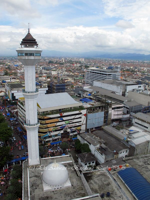
This is the aerial view of Jalan Asia-Afrika (Asia-Africa Street) to the east of Alun-Alun Bandung or Bandung's City Square. The street runs from west to east and is the main thoroughfare of the city. It is also part of the Grote Post Weg (The Great Postal Road) that was originally built by the Dutch East India Company (V.O.C.) - then the colonial ruler of the Indonesian archipelago - in the early 1800s. It is here that Bandung's kilometer zero is located - the location being determined by the pole that V.O.C. Governor W.H. Daendels is said to have stuck near the Cikapundung River when - upon inspecting the construction of the Grote Post Weg - he declared that he wanted to see a new city built in that very place when he returned.
Being the first proper street of the city, Jalan Asia-Afrika is very historic and has the most heritage landmarks. Among them are Gedung Merdeka (now the Museum of the Asia-Africa Conference) - the fourth building on your left - and the Preanger Hotel - the fourth building on your right.